
Trip Report: Mount Moran
Canoes, bears, glaciers, and scenery that won’t be soon forgotten.
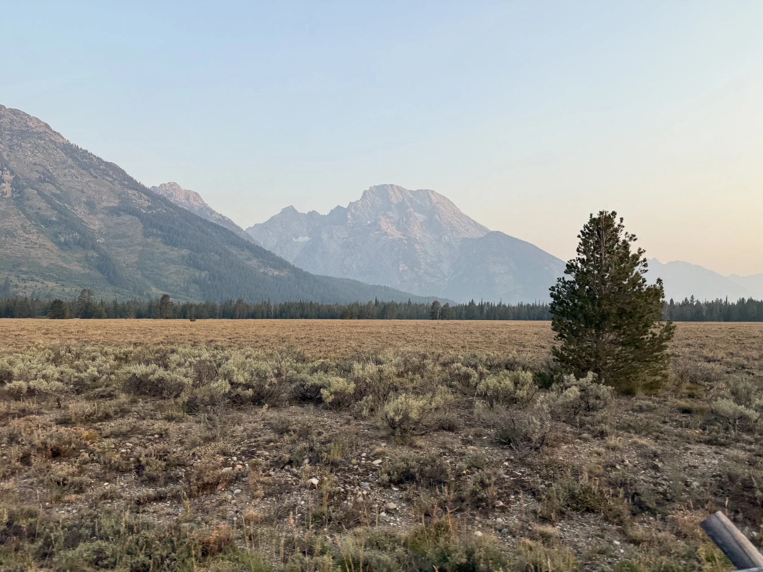
Peak: Mount Moran, 12,605 ft, Grand Teton National Park, WY
Route: CMC Route (Chicago Mountain Club), east face
Grade: 5.5, 6 pitches, Grade II/III
Rack: Nuts, singles from .3-3, many slings
Style: Two days, one night at the CMC camp
Approach: 2 mi paddle: String Lake, short portage, Leigh Lake
Hike to camp: 2 mi, 3,000 ft to the CMC camp at 10,000 ft
Camp to summit: 2,600 ft
Technical climbing: 600 ft
Descent: 5 rappels plus extensive downclimbing
Total gain from the lake: 5,700 ft
Season: August
Notes: Mount Moran is a perfectly reasonable car-to-car objective, and plenty of people do it that way, but we chose to do it as an overnight to enjoy the beautiful scenery. Plan plenty of time for the descent. The night before our climb one party got stuck on the mountain and didnt get back to camp until 10:30pm.
Getting There
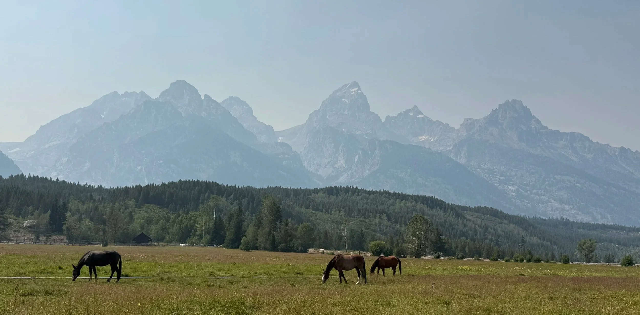
The Grand Teton Range
We flew into Idaho Falls on Friday, August 7. After breakfast at Smitty's, the best damn breakfast ever served, we drove two hours to Grand Teton National Park. There we rented bear spray at the visitor center and picked up our permit at the ranger station. The ranger office has historical artifacts hanging all over the walls and is worth the visit even if you aren't there for paperwork.
The man behind the desk was named Renny. Kind, but general and concise, giving short answers when we asked about routes we'd been considering. Permit in hand, we headed to Jenny Lake for a dip while we waited to check into the American Alpine Club Climbers' Ranch.
While we waited I was flipping through A Climber's Guide to the Teton Range, which many consider among the best guidebooks ever written based on its granular detail. That's when I noticed the author's name: Reynold "Renny" Jackson. The nonchalant gentleman volunteering at the permit desk had somehow failed to mention that he knows more about the Tetons than anyone currently on the planet. My instinct said go back and have him sign it, but we had other chores.
A Canoe?!
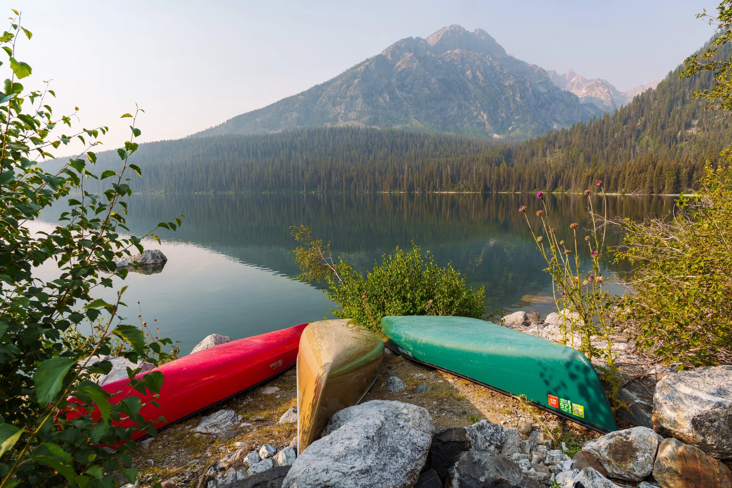
Canoe storage.
After a cozy night in the Climbers' Ranch cabins with some friends, we started for the summit around 6:30 a.m. on Saturday, August 8.
One of the best components of this objective is that it opens with a two mile paddle across String and Leigh Lake. Go early enough and the water is glass, with the whole range reflected back at you. There is a short portage between the two lakes at the footbridge on the north end of String, roughly a tenth of a mile of hauling boat and packs. That early start is worth more than the photos suggest because the wind on Leigh builds through the day, and a headwind against a loaded canoe will cost you.
We stashed the canoe on the far shore of Leigh Lake and started the two miles up to the CMC camp.
The hike is short. What she lacks in length, she makes up for in intensity. About three thousand feet of loose gravel, talus, and thick brush that happens to be a wonderful place for a bear to spend an afternoon. The nice part is that you're alongside a stream fed by Falling Ice Glacier for the first half, so water is easy. After about 1,500 feet of gain the trail cuts left and leaves the stream. Once you leave the stream it's another 1,500 feet in a mile to camp. This last mile is where the packs started to feel honest. After eating breakfast, parking, canoeing, hiking, and taking hundreds of pics we rolled into camp around 12:30.
Camp
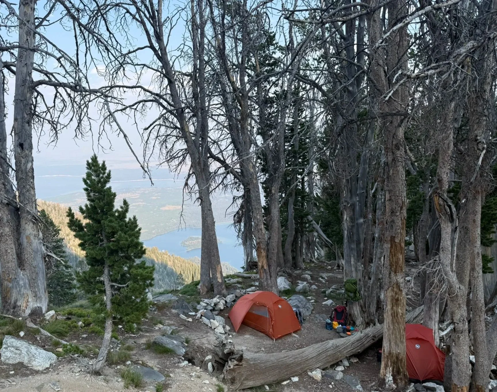
CMC Camp
Camp sits around ten thousand feet at the top of the Falling Ice gulch, and by backpacking standards it's one of the best sites either of us has stayed at.
Arriving at midday, we briefly considered pushing for the summit that afternoon and hiking out in the morning. Our time estimates said we'd be cutting it close with daylight, and the descent is engaging enough that we didn't love the math. So we spent the afternoon hanging out, exploring around camp, and scouting the first stretch of the approach instead. Every trip report we'd read said to scout the first five hundred feet so you aren't route finding aggressively in the dark. That is great advice. The scrambling isn't difficult, but it would be tedious by headlamp.
That day at camp was one of the more pleasant afternoons I've had in recent history. Shade, a nice breeze, a babbling brook in the not so far off distance, and a nap of genuinely bearlike quality.
About an hour before dinner, my partner spotted a brown bear headed our way. We grabbed the spray, held our ground, then watched what turned out to be a cinnamon phase black bear walk within a few feet of the tents. No fuss, no mess, just passing by. Shortly after our visitor strolled through we ate dinner and retired to bed in preparation for our 4:15 a.m. departure. Despite some concern about a return visit from our portly friend, I slept like a brick.
The Climb
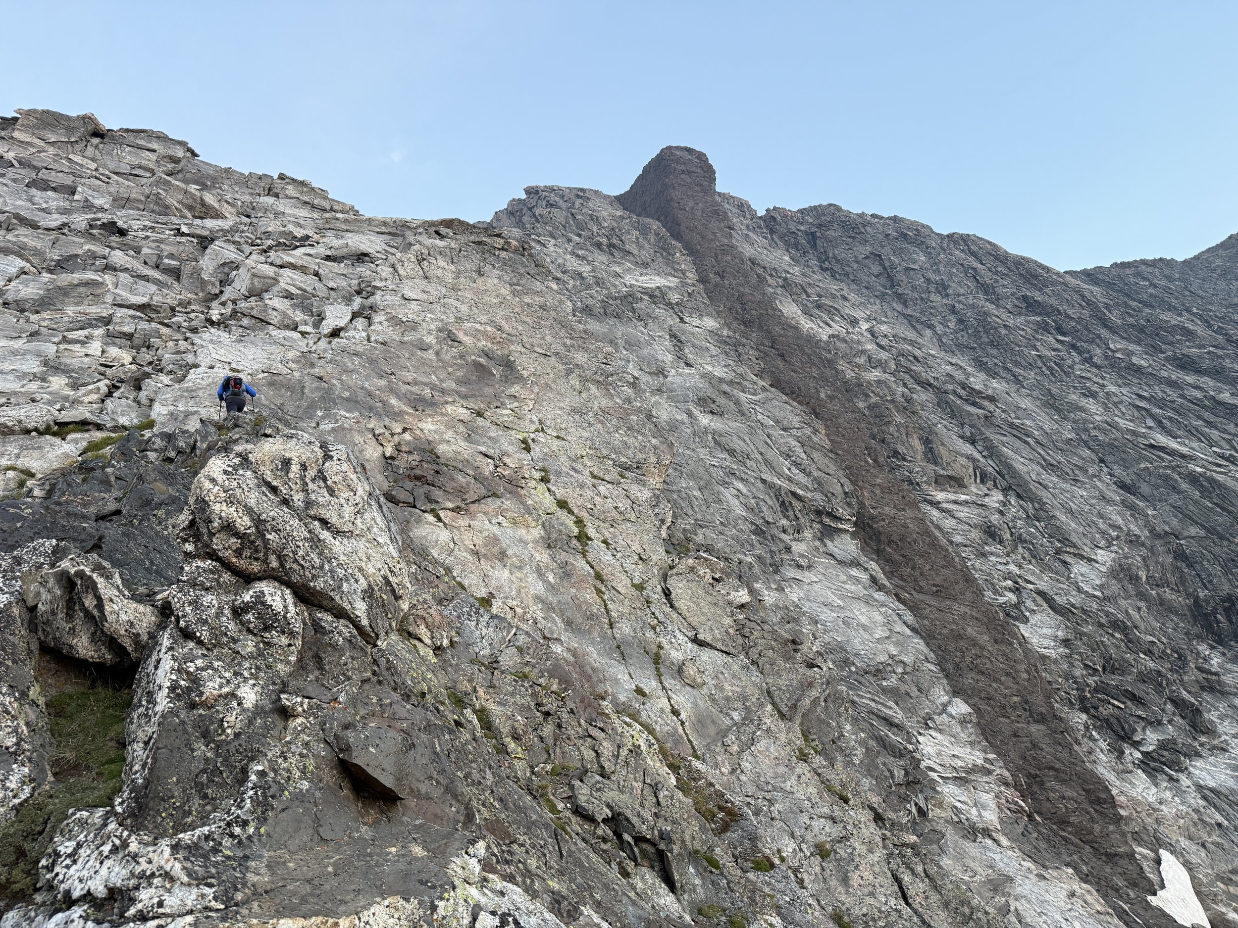
Final push to the summit of Drizzlepuss. The prominent “Black Dike” to the right.
The approach up Drizzlepuss went quick, but it was steep. We topped out on Drizzlepuss just as the alpenglow faded, leaving behind a red sun from all the smoke in the air from the PNW fires. We geared up, ate, and started the short downclimb to the first rappel station, only about twenty feet. Two short rappels later, we were in the notch.
Our plan was to simul-climb the whole route. Route finding was not a gimme, but it was manageable. The trick is to stay low and traverse out right in the beginning. From there, find the correct crack system and head up while trending right. It was much easier than I'd anticipated. If you don't keep trending far enough right you'll cliff out on the south buttress. But getting back on route is quick and easy.
The climbing itself never asks much of you. It's low angle, the features are generous, and the rock is good enough that 5.5 feels fair. What the route asks for instead is efficiency. Every minute spent not climbing is a minute you pay back with interest on the descent. After six hundred or so feet of low angle climbing we reached the summit around 10:30, putting the climb at four to five hours. The summit is flat and fairly uninspiring. After finding the summit marker and refueling we headed down as we now had a 6,000 foot descent.
The Descent
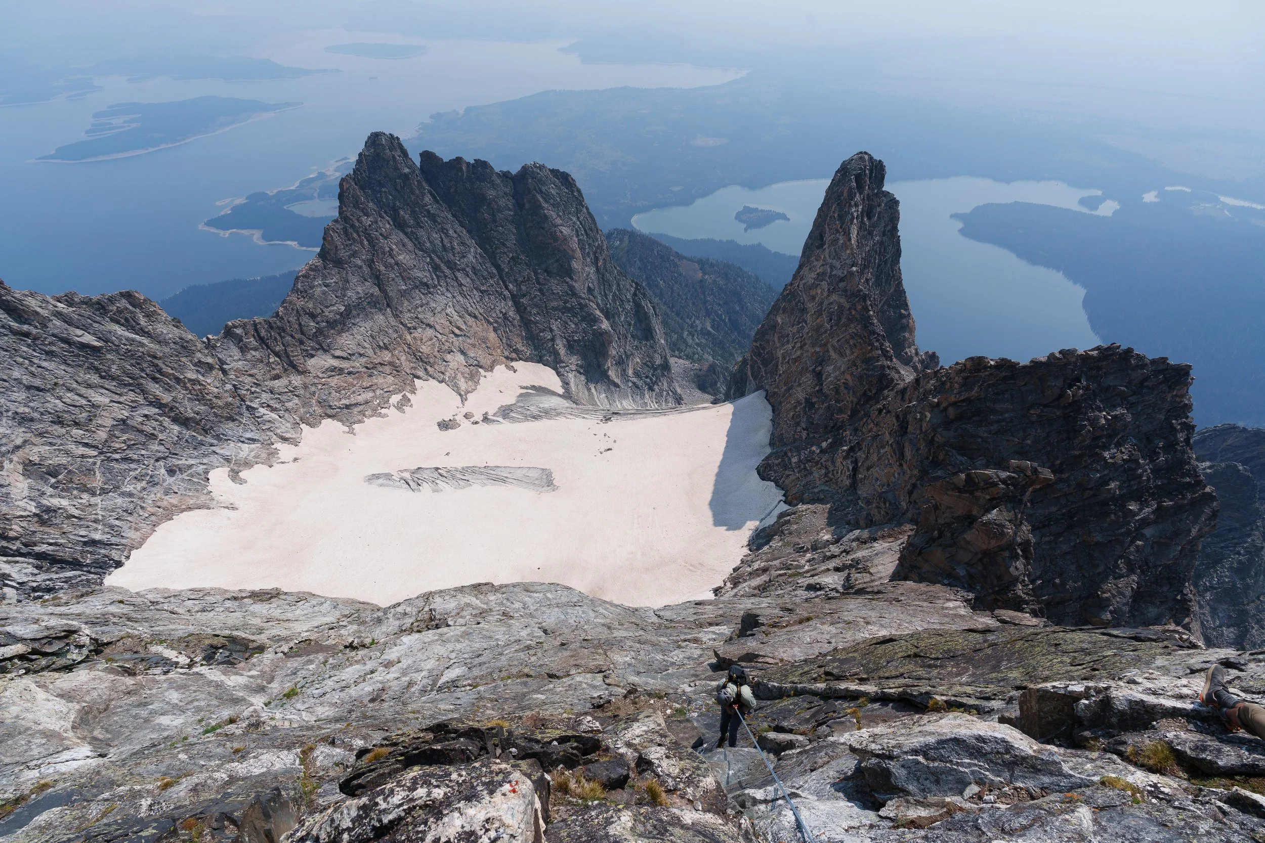
First rappel
The descent is requires downclimbing the top half of the route, which in my opinion kind of negates the reasoning behind simuling at all instead of just free soloing it. But I digress. It should be noted that many parties take longer on descent than they do on the ascent. Most of the downclimbing is chill with only one or two sketchy moves.
Keep trending right on your way down and you'll reach the first rappel station, which if I'm remembering correctly is bolted. That rap lands you on a platform with two pitons connected by a nest of tat. The second rappel needs a short downclimb with a single 60m. The third rap needs more than that, including an exposed traverse to reach the next station. Once at the fourth rap station, rappel again and keep working right to a platform where you can take a break in the shade. The last part of the technical descent included a slabby traverse and downclimb that gets you to the final rappel. We may have been off route there, but it was pretty heads up. Once at the station, rap into the notch between Moran and Drizzlepuss.
If there's one piece of gear beta worth taking from all of that, it's the rope. A single 60m works, and it's what we used, but it turns the descent into a series of raps that each end just short of where you want to be, with a downclimb tacked onto the bottom of them. Doubles or a 70 would clean most of that up and would probably save you an hour across the whole descent. Weigh that against carrying the extra weight up three thousand feet the day before…
By this point we were pretty beat but knew the only real move was to keep moving. My partner started up Drizzlepuss and we ended up splitting it into two pitches since we weren't sure a sixty would reach the top. It would have. We swapped leads, I topped out, and the technical portion was complete. The sun was working on us and we had the better part of five thousand feet left to lose. We all but skied the scree on Drizzlepuss's south side and continued down to camp, which took under an hour and a half and was surprisingly quick.
The Exit
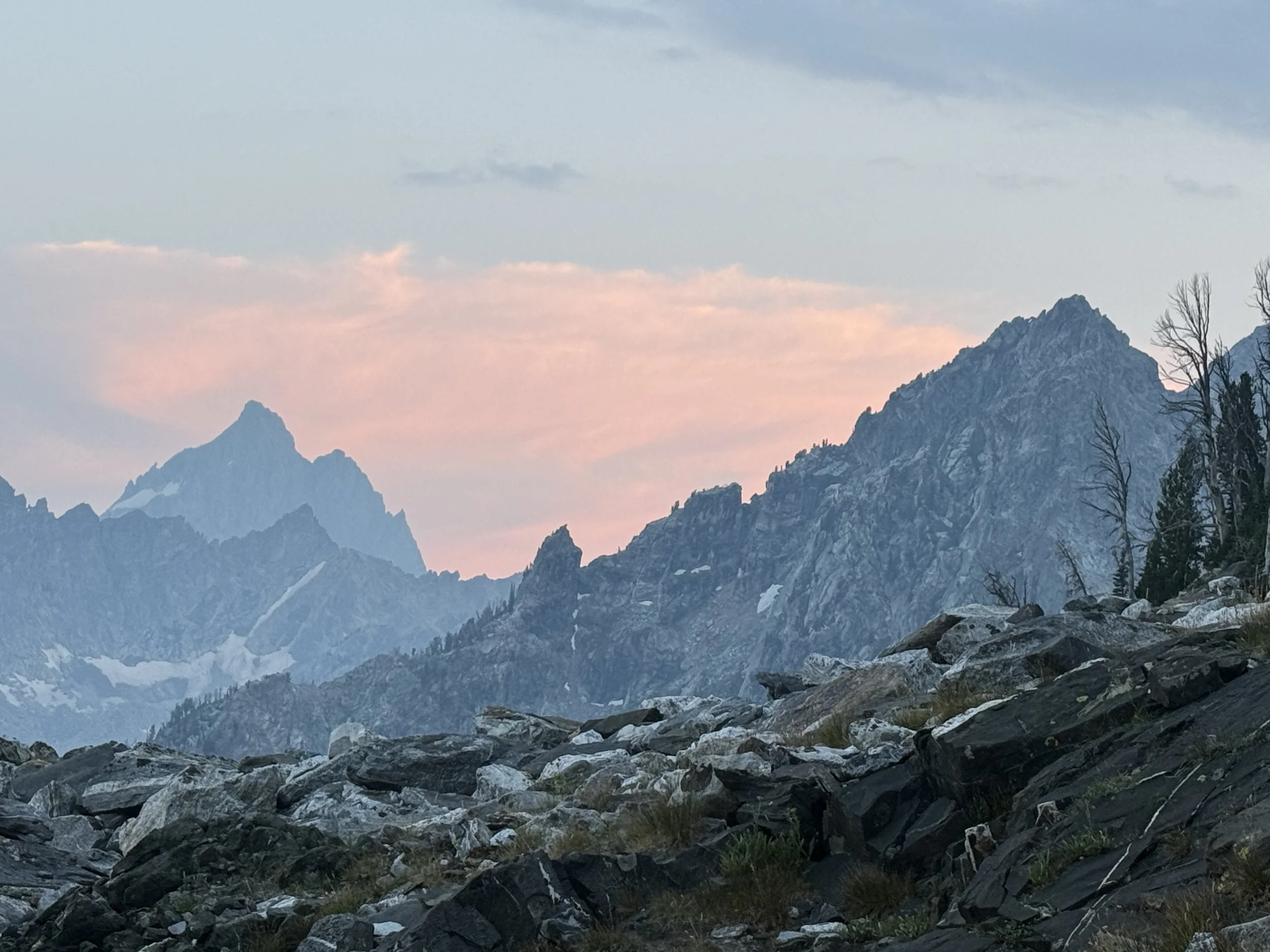
The Grand Teton from camp.
Back at camp around 3:00pm, we packed up, took a ten minute break, refueled, and started the three thousand foot descent to the canoe.
Honestly, this was the crux of the day. We were depleted, but we didn't want another night out and our permit didn't allow for one. The first fifteen hundred feet went by painlessly, but once we hit the talus field and the stream, we slowed wayyy down. Our knees were taking a beating and the odds of coming across a grizzly went up with every inch the sun dropped. Bring poles, this is the hour they earn their keep.
A couple of hours of falling with style later, we made it back to the canoe around 5pm. We dropped the bags and hopped in Leigh Lake to cool off before the voyage across the great water. There was no evening wind so we got back to the String Lake beach in just over an hour.
Paddling into the String Lake beach, I looked back and saw where I'd been standing that morning, and something like gratitude took over. The water was still, and the lake was quiet, and it was all quite moving. It was a reminder that these lands are sacred and need to be preserved.
After loading up the canoe there was only one thing left to do: get a burger and a DQ blizzard and retire to a hotel room in Jackson.
Worth It
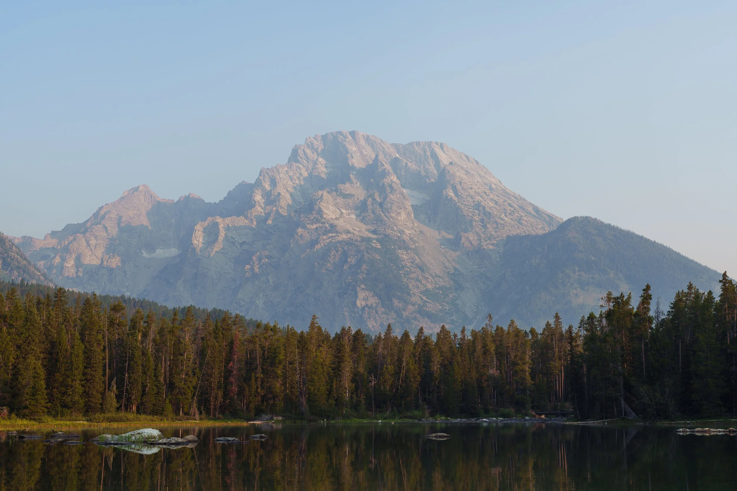
Mount Moran from String Lake.
Moran is one I won't soon forget. Idaho, Wyoming, and the Tetons have a special place in my heart. The canoeing, the backpacking, and the technical ascent added up to an objective that was fun, challenging, and at moments genuinely relaxing. There is plenty more to accomplish in the Tetons, but that’s a hill for another day.